Landscape and Visual Impact Assessment (LVIA) services
Verified views for planning applications and public consulation
Verified views using GIS and 3D modelling
Design Visualisation Ltd can provide panorama photography and photomontage overlays that are often required in complex planning applications with accurate modelling using Lidar data and additional cad modelling to create realistic view of proposed developments, in accordance with the Landscape Institutes document GLVIA and guidance note TGN 06/19
In addition to a Lidar data model new features are modelled and are accurately overlaid on to site photography to verify the accuracy of the views as proposed.
A Comprehensive Visualisation Service
Support for all planning and architectural professionals
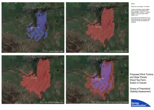
Zones of Theoretical Visibility and site sections
We use GIS software in order to identify the 'ZTV' the extent that a new feature or building is visible in the surrounding area.
Mitigation services to minimise impact of proposals
We work closely with landscape and planning specialists to ensure that any advance planting can be included within planning proposals to reduce future impact where necessary.
Realistic photomontage and fully rendered imagery
We have over 20 years of providing realistic 3D imagery to clients in the architecture, construction and planning sectors. See our main website for general visualisation work.
Our Projects
Explore our expertise in landscape and visual impact assessments.
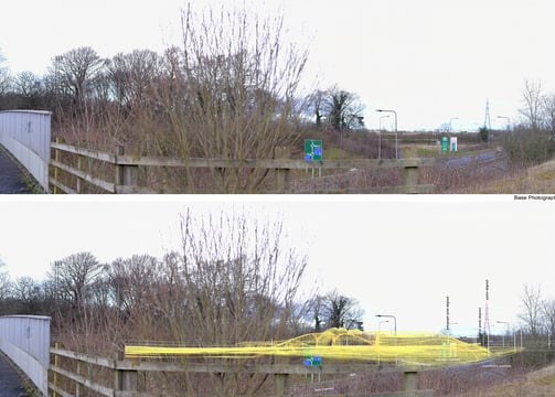
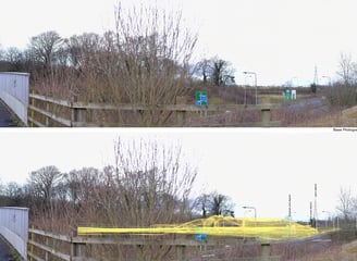
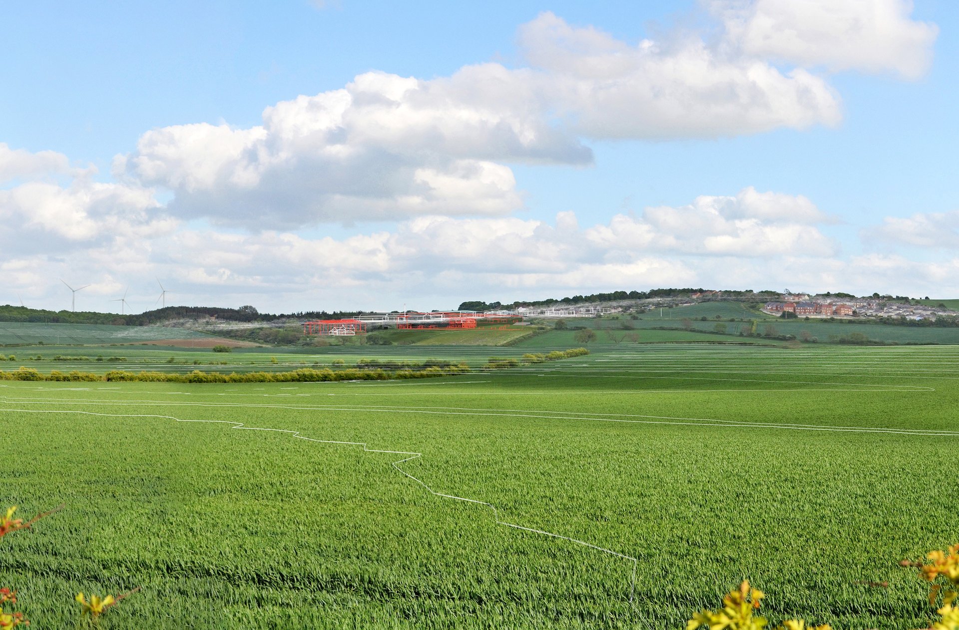
Selby Fork : Roadchef MSA
Multiple panoramas for motorway service area, wire frame shown.
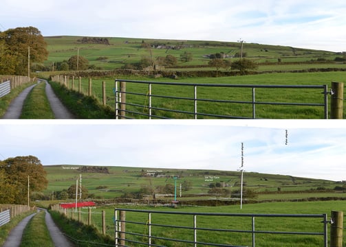
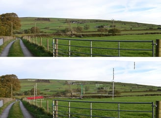
Sutton in Craven
Wind Turbine and Solar Panelling proposal, wire frame shown.
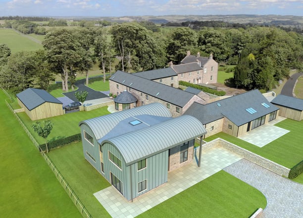
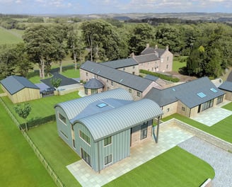
Greta Bridge, Barnard Castle
Panoramas for proposed new holiday lodges, wireframe shown. Advance planting was modelled to mitigate impact of the development.
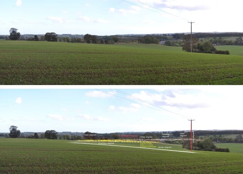
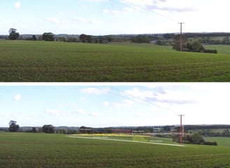
Zones of Theoretical Visibility
Example of ZTV study showing extent of visibility.
Our Location
Located in the North East of England, we provide expert landscape and visual impact assessments to enhance your projects and ensure compliance.
We are here
1 Blackwell Lane, Darlington, DL3 8QF
Hours
Mon-Fri 9am
get in touch
contact
or
david@design-visualisation.com
07903 974806
© 2024. All rights reserved.